Goals for Imagery Exercise
Understand how an imagery system represents
- differences in spectral sensitivity
- panchromatic
- "natural" color
- false color (from bands out of the visible range)
- differences in resolution (and scale)
- really crude satellite sources (1km?)
- what we had to put up with (30 m)
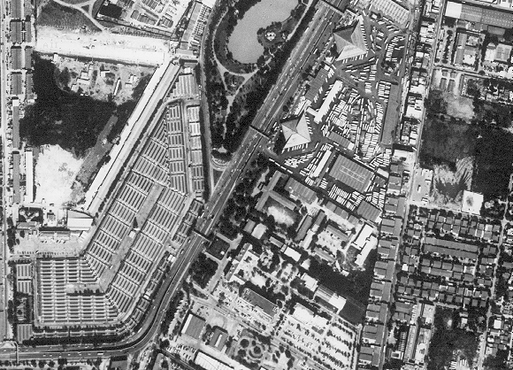
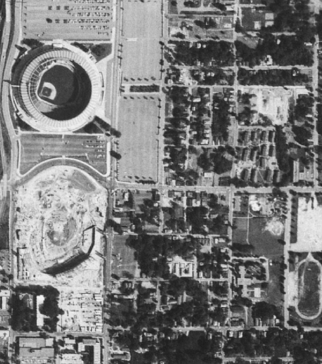
- what is coming (2 m now, 1 m soon)
[the sample
is of Bangkok from a Russian platform; another sample from this
source around the Atlanta Stadium]
- air photographs (flight height, scale and distortions)
Getting a feel for interpretation
- Urban objects
- Land use
- Land cover
Deriving other measurements from images