Index of Resources:
uses exclusionary logic mostly with buffers: 5 separate studies, each with slightly different criteria - which criteria reflect the best interests of the environment? the public?
CRITERIA \  COUNTIES
                      Crawford   Lake    Will Champaign Whiteside
100 year floodplain       X       X       X       X      7920
Wetlands                  X       X       X       X      5820
Airports (turbojet)   10000   10000   10000   10000     10000
Historic sites         1000     200       X       -      1320
Endangered species      500       X       X       X         X
Developed areas        1500     500       -       -         -
`Committed' devel.     1500     500       -       -         -
Geologic material type    -       X       -       X         -
Surface waters         1000     600       -     500         -
Public water supply    2500     500     500    1000      5280
Other water wells         -       -       -     200         -
Oil wells               250       -       -       -         -
Incorporated areas        -       -       X    7920      1320
Rural dwellings           -       -       -       -      1320
Cemeteries              500       -       -       X      5820
Schools               10000     500     500    7920      5820
Hospitals             10000     500     500       -         -
Source: Lindquist (1991) GeoInfoSystems Table 1, selected for key differences.
X denotes simple exclusion; figures are buffer distances in feet;
- indicates criterion not used in that county.
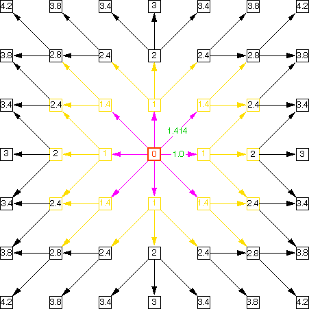
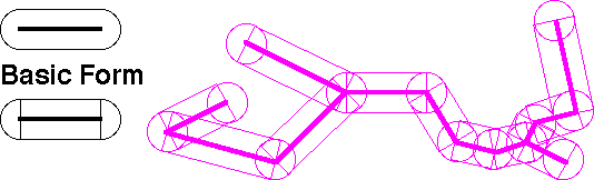
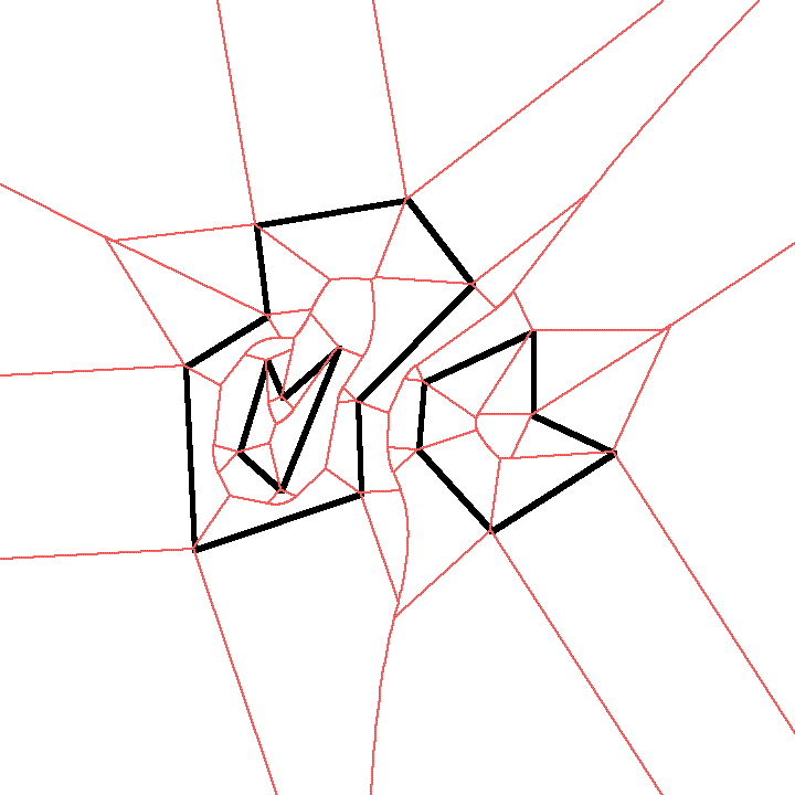
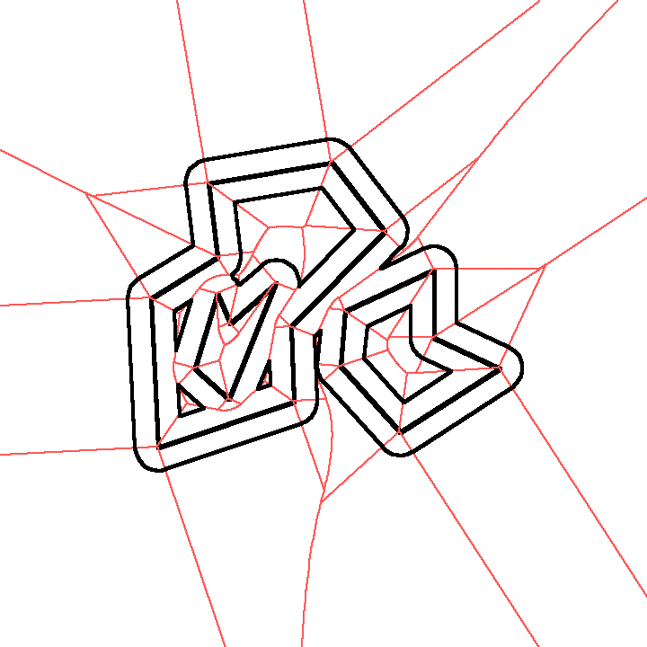
Extended Voronoi Diagrams can permit a non-contour approach
for vector data
(compute zones belonging to nearest neighbors for points and lines)
Example of Extended Voronoi regions
THEN you can get ANY buffer distance by 'contouring' the extended
neighborhood diagram:
Illustrations of Extended Voronoi courtesy of Chris Gold, University
of Laval, used by permission of author.
From here: Back to Lecture 12 | Class Resources | Lectures | Exercises and Discussions | How to contact us
Version of 23 October 2003